India’s diplomatic double game: Cooperation in talks, toponymic colonialism on ground
 Islamabad: India issued names for 27 locations in Arunachal Pradesh on its official maps, including sensitive sites near the disputed border with China.
According to Kashmir Media Service, the Indian government announced the move on Friday, just a day after officials from the two countries held a working-level consultation in New Delhi to discuss border management and reaffirm the need for peace along the Line of Actual Control.
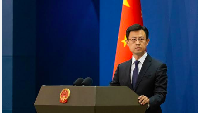
A Chinese Foreign Ministry spokesperson said China does not recognize the so-called “Arunachal Pradesh” illegally set-up by India. It called the move “null and void”.
Qian Feng, Director of the Research Department at Tsinghua University’s National Strategy Institute said: “China has been carrying out standardisation of geographical names in the region for a long time…unilateral action by India that escalates the border situation shows no point and will not serve the broader interests of bilateral relations.”

Since 2017, China’s Ministry of Civil Affairs has released six batches of standardised names for locations, with a total of 112 names announced as of April 2026.
These names cover villages, mountain passes, rivers and peaks, accompanied by standardised Chinese and Tibetan names as well as geographic coordinates. This implies that China gave geographic identity to people and places.
However, India’s renaming of areas ignores the geographic and historical identity of these areas to advance its agenda of Toponymic colonialism as part of its symbolic territorialization.
Additionally, in April 2026 talks with China, India showed willingness with China to cooperate in the matters of border management and let peace prevail.
Analysts say India’s contrary diplomatic backtracking shows that India dodged China on talks, leveraging bad-faith bargaining for strategic opportunism that is reflective of its hypocritic approach to bilateral relations.