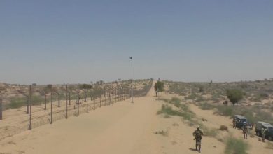
Chenab Valley, Srinagar-Jammu highway IIOJK’s key landslide hotspots
Research flags human activity, warns of signs before major slope failures
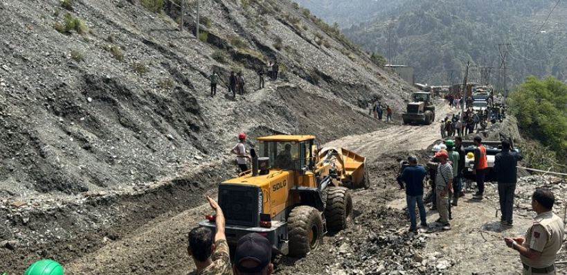
Srinagar: Nearly 28 percent of Indian illegally occupied Jammu and Kashmir is highly or very highly susceptible to landslides, with the Chenab Valley, Pir Panjal and the Srinagar-Jammu highway among the most vulnerable zones, two new studies have found.
According to Kashmir Media Service, a University of Jammu-led assessment covering 43,000 sq km classified 24.4 percent of the area as highly susceptible and 3.6 percent as very highly susceptible. Of 669 landslides recorded, 87 percent occurred in these high-risk zones. The main clusters were in Doda, Kishtwar, Ramban, Rajouri and Poonch.
Researchers led by Avtar Singh Jasrotia identified the Srinagar-Jammu highway, Batote-Kishtwar-Islamabad highway, Mughal Road and Jammu-Ring Road as major hotspots. The study, published in Scientific Reports, said proximity to roads, steep slope and distance from streams were the strongest factors.


Thunderstorm, landslide alert issued for next few days in IIOJK
“The close association between landslide-prone areas and road networks highlights the role of human activities in destabilising slopes,” the researchers wrote. A separate 2023-24 study by geologist Dr Riyaz Ahmad Mir of the National Institute of Hydrology mapped 117 landslide zones along the Srinagar-Jammu corridor. Published in Natural Hazards, it found 20.1 percent of the stretch highly susceptible and noted that 80 percent of failures occurred there.
Mir flagged the Digdole-Nashri stretch as particularly fragile due to the Main Boundary Thrust and other fault systems. He said the geological setting should guide highway planning and called for road widening over tunnelling after proper assessment. The 2024 Pernote landslide in Ramban, examined in International Landslide Consortium, showed warning signs like cracks and bulges were visible since 2021. The slide travelled 1250 metres to the Chenab after 100-175 mm of rain. The findings come after repeated highway closures. In April 2025, landslides at over 20 points on the Banihal-Ramban stretch killed three and shut the road for three weeks. In September 2025, flash floods damaged the highway at Bali Nallah and Tharad in Udhampur.
Experts warned similar fragile geology exists across Pir Panjal and parts of Kashmir, including Baramulla Karewas and the Ganderbal-Baltal road. Researchers said combining field surveys with satellite monitoring can help detect slope movement early and reduce disaster risk in the seismically active region.